2040 Official Community Plan
Natural Environment


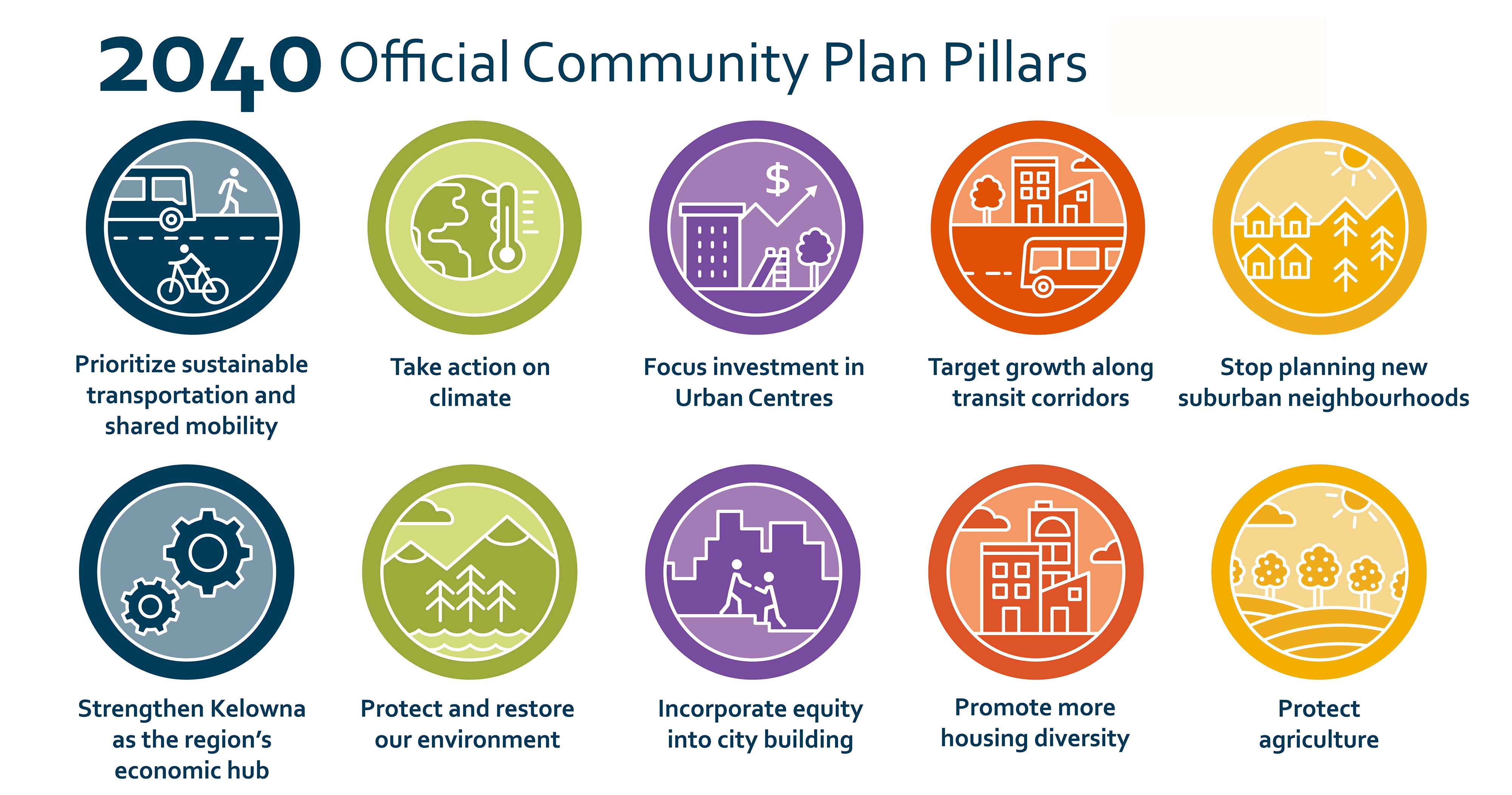
Kelowna’s natural environment is a cornerstone of Kelowna’s identity, supporting the community’s health, economy, and livability. Okanagan Lake, 27 creeks, 200 wetlands, and our natural areas provide habitat for a wide variety of plants and animals, including several species at risk. These areas provide clean air and water, healthy soils, rainwater interception, soil stability and temperature regulation, as well as outstanding recreational opportunities. Conserving and restoring our natural environment also helps reduce our vulnerability and increase our resilience to climate change. In addition to the host of other ecosystem services they provide, these natural assets can significantly reduce greenhouse gas emissions through carbon sequestration and can help our community adapt to the impacts of extreme weather, such as drought and flooding.
Kelowna’s natural environment has been significantly modified by human activity and urbanization over the past century. To ensure our remaining natural environment continues to provide benefits for future generations, the City must prioritize the protection and enhancement of natural habitat, water and air resources and maintain local biodiversity. As our community grows, a comprehensive approach must be taken, integrating environmental considerations into planning and development decisions to avoid impacts on our sensitive ecosystems. Extraordinary vigilance is required to maintain the aesthetic, cultural, and functional value of our natural environment.
Policy 14.1.1. Motor Vehicle Use and Air Quality.
Promote land uses that reduce reliance on motor vehicles. Restrict land uses and activities that require idling such as new drive through developments.
Policy 14.1.2. Land Uses and Point Sources of Air Pollution.
Encourage land uses that accommodate vulnerable populations (e.g. seniors, children, people with health challenges) to locate away from major point sources of air pollution, such as industry. If not feasible, consider building design features that will reduce exposure, such as placement of air intakes or additional air filtration.
Policy 14.1.3. Active Transportation and Air Pollution.
Design Active Transportation Corridors to reduce exposure to exhaust pollutants from motor vehicles or traffic related air pollution by considering routes, physical separation, or vegetation to filter pollutants from congested roadways.
Policy 14.2.1. Urban Forest as Green Infrastructure.
Manage the urban forest as green infrastructure to enhance ecosystem services such as ecosystem connectivity, mitigate greenhouse gas emissions, reduce the urban heat island effect, provide rainwater interception and infiltration, improve air quality, maintain biodiversity and support public health and quality of life.
Policy 14.2.2. Kelowna’s Tree Canopy.
Strengthen and expand a healthy and diverse urban forest, as per the City’s Sustainable Urban Forest Strategy, with 2050 tree canopy targets of
- 20% within the Urban Centres;
- 20% within the Core Area;
- 15% within the Gateway;
- 25% within Suburban Neighbourhoods; and
- 25% within Rural Lands.
Policy 14.2.3. Plant Selection.
Encourage the use of species of plants well-adapted to Kelowna on public and private property to increase overall tree canopy coverage. With a preference for plants native to the area, select plants that are drought-tolerant, pest-resistant, FireSmart®, are compatible with urban development and are adapted to the specific site conditions today and for a changing climate.
Policy 14.2.4. Right Tree in the Right Location.
Emphasize “right tree in the right location” to help ensure that trees will not have to be removed due to future conflicts with utility wires, building foundations, etc.
Policy 14.2.5. Significant Tree Protection.
Develop tree protection and planting measures to protect indigenous, heritage, significant and wildlife trees to:
- Maximize retention of existing trees on development sites; and
- Protect trees and roots during street and building work.
Policy 14.2.6. Trees in Development.
Maximize the retention of existing vegetation and prioritize the planting of new vegetation through development approval and major construction and infrastructure projects.
Policy 14.2.7. Urban Forest and Habitat Connectivity.
Connect different habitats using the urban forest along boulevards, backyards, parks and riparian areas.
Policy 14.3.1. Okanagan Lake Ecosystem Health.
Preserve the ecosystem health of Okanagan Lake, recognizing the ecosystem functions it provides to all local species, not just humans. Encourage stewardship of the lake for future generations.
Policy 14.3.2. Natural Shoreline Conservation.
Conserve the natural shoreline of Okanagan Lake to preserve areas of archaeological and cultural significance, shore spawning fish habitat, wetlands, stream corridors, steep slopes, rock outcrops, cliffs, species at risk, and to maintain natural ecosystem processes that sustain local flora and fauna.
Policy 14.3.3. Foreshore Structures.
Ensure structures that obstruct public access along the foreshore are brought into compliance with current regulations prior to the approval of an upland development application.
Policy 14.3.4. Shoreline Erosion Protection.
Where possible, use green infrastructure and natural asset management to protect the foreshore during flooding (e.g. expanded riparian areas, stabilize foreshore with natural materials, etc.). Avoid hard armoring shoreline with retaining walls.
Policy 14.3.5. Okanagan Lake Water Quality.
Protect the water quality of Okanagan Lake by managing activities in upland source water areas to reduce pollutants entering the Lake.
Policy 14.4.1. Ecosystem Level Planning.
Use an ecosystem level approach to ecological planning and management to ensure the ongoing function of environmentally sensitive areas (ESA), establishment and/or retention of ecosystem connectivity corridors and the preservation of species at risk.
Policy 14.4.2. Ecosystem Connectivity Corridors.
Maintain and improve biodiversity through the establishment and preservation of ecosystem connectivity corridors for habitat connectivity, migration, and the continuation of viable populations by:
- Discouraging development or land uses that will have a negative impact on properties that intersect with the Okanagan Mountain to Kalamalka Lake Provincial Park Ecosystem Connectivity Corridor as identified on Map 14.1;
- Discouraging development or land uses that will have a negative impact on properties that intersect with the Knox Mountain Ridge Ecosystem Connectivity Corridor as identified on Map 14.1;
- Encouraging the provincial government to incorporate transportation corridors that allow for wildlife movement at key locations; and
- Conserving and enhancing ecosystem connectivity through parks, open spaces and riparian areas.
Policy 14.4.3. Natural Riparian Areas and Watercourses.
Preserve riparian areas and watercourses in their natural state and link them with upland natural areas to develop a connected network of natural areas throughout Kelowna.
Policy 14.4.4. Critical Habitat Restoration.
On City-owned properties, investigate opportunities to restore native ecosystems.
Policy 14.4.5. Species and Habitats at Risk.
Protect, manage, enhance and restore ecosystems and species at risk defined by the federal Species at Risk Act and/or provincially Red and Blue ranked species. Balance the protection of locally rare species with those that are less rare but ecologically valuable.
Policy 14.4.6. Culturally Significant Vegetation.
Look for opportunities to preserve areas with culturally significant syilx/Okanagan plants and ecology such as bitterroot, siya, and birch.
Policy 14.4.7. Stewardship of Environmentally Sensitive Areas.
Encourage landowners to protect, preserve, and enhance environmentally sensitive areas on private property through conservation tools such as conservation covenants, land trusts, and eco-gifting.
Policy 14.4.8. Environmentally Friendly Pesticide Alternatives.
Discourage the use of chemical fertilizers, pesticides and herbicides for cosmetic purposes and instead promote the use of environmentally friendly alternatives in order to protect water resources and adjacent ecosystems.
Policy 14.4.9. Natural Viewscape.
Collaborate with the Regional District of Central Okanagan, neighbouring communities, First Nations, and senior levels of government to protect the natural viewscape of the Central Okanagan.
Policy 14.5.1. Development Design in Environmentally Sensitive Areas.
Design new development to prioritize protection of environmentally sensitive areas as identified in Map 21.1 Natural Environment Development Permit area. Design the development to not disturb natural ecosystems, preserve environmentally sensitive features, adapt to natural topography and to avoid overall environmental impact. For those developments also in a Wildfire Development Permit Area (Map 20.2), ensure the development is also designed to minimize wildfire risk.
Policy 14.5.2. Native Vegetation Retention.
Maximize the retention of existing native vegetation and restore native vegetation wherever possible during site development in environmentally sensitive areas as identified in Map 21.1 Natural Environment Development Permit area to enhance ecosystem services, maintain biodiversity and minimize erosion and runoff. In Wildfire Development Permit Areas (Map 20.2) vegetation loss may be necessary as recommended by a qualified professional, to minimize risk.
Policy 14.5.3. Environmentally Sensitive Area Protection Tools.
Protect and preserve environmentally sensitive areas using one or more of the following measures at the time of development:
- Dedicating land as a City park or natural areas and managed to prioritize their sensitive features in balance with public use;
- Returning to Crown Land;
- Placing a covenant for conservation purposes with the City, the Province and/or a nongovernmental organization (e.g. Central Okanagan Land Trust) eligible to hold Conservation Covenants;
- Incentivizing development within PGB (e.g. density transfer, cluster housing, etc.) that will facilitate the protection of all or significant portions of ESAs;
- Protecting of ESAs or portions of ESAs as amenity contributions when new development requires a change to zoning that increases density over present zoning within PGB; and
- Ensuring setbacks on adjacent developments are adequate to maintain the integrity of the ESA and to minimize hazards created at the interface between natural areas and development.
Policy 14.5.4. Voluntary Environmentally Sensitive Area Protection.
When an owner of land offers voluntary protection of an ESA, consider allowing increased density on the balance of the subject property by including the dedicated area in the density calculation; transferring density to another property; trading land; purchasing land; offering grants-in-aid; or granting tax exemptions.
Policy 14.5.5. Site Density Calculations.
Allow the owner(s) of land affected by dedications for environmental protection to use the original site area in computing density and floor area ratios and minimum area for development or subdivisions purposes.
Policy 14.5.6. Riparian Area Restoration.
Restore negatively impacted riparian areas prior to subdivision or rezoning approval.
Policy 14.5.7. No Net Loss of Terrestrial Habitat.
Require land use and development projects to have “no net loss” of natural ecosystems and their functions as determined through environmental assessment for those properties identified on the Natural Environment Development Permit Map 21.1. In the long term the City will strive for a net gain in overall productivity of terrestrial habitats.
Policy 14.5.8. No Net Loss of Aquatic Habitat Productivity.
Require land use and development projects to have “no net loss” of aquatic habitat productivity, based on the principle of the Department of Fisheries and Oceans “no net loss” policy, as determined through environmental assessment for those properties identified on the Natural Environment Development Permit Map 21.1. In the long term the City will strive for a net gain in overall productivity of aquatic habitats.
Policy 14.5.9. Habitat Management Hierarchy.
Ensure the following sequence of management actions for all public or private projects be adhered to, in areas identified in Natural Environmental Development Permit Map 21.1, to achieve the “no net loss/net gain” principle of ESA:
- AVOID impacts to habitat through appropriate project siting and design;
- MITIGATE minor or temporary impacts by minimizing impacts, and repairing and restoring damaged habitats to their former state or better;
- COMPENSATE only when residual, permanent loss of habitat is unavoidable, acceptable and compensable. Habitat compensation proposals will not be accepted as a trade-off for incomplete on-site mitigation where effective mitigation efforts are feasible. Development proponents are responsible for proving that all measures to avoid or mitigate potential habitat impacts have been exhausted prior to proposing habitat compensation measures on or off-site.
Policy 14.5.10. Varying Riparian Management Area Requirements.
Retain the option to vary the width of Riparian Management Areas to accommodate the maximum retention of desirable natural vegetation and wildlife habitat, ground formations, and water features through a “no net loss” approach.
Policy 14.5.11. Environmentally Sensitive Area Linkages.
Ensure that development activity does not compromise the ecological function of ESAs and maintains the integrity of plant and wildlife corridors.
Policy 14.5.12. Transportation Environmental Impacts.
Reduce the impacts of transportation infrastructure on the natural environment by:
- Reducing runoff through infiltration and retention using green infrastructure practices as low impact development controls;
- Capturing pollutants and sediments from storm water runoff before they enter the natural environment;
- Planting native vegetation along streets and pathways;
- Providing wildlife passages at key locations; and
- Modifying road layouts and alignments, where feasible, to protect environmentally sensitive areas.
Policy 14.5.13. Reduce Light and Noise Pollution.
Encourage development to buffer along adjacent ESAs to reduce light and noise pollution that may negatively affect wildlife.
Policy 14.6.1. Compensating for Unavoidable Habitat Loss.
When compensation for loss of habitat is necessary and acceptable, implement the following guidelines in making habitat compensation decisions:
- On-site compensation (e.g. in or near the same location as the area being impacted) is preferred over off-site compensation, particularly when sufficient space is available and there is adequate biophysical capacity on the site to create or enhance similar habitat. In some instances, off-site compensation may result in greater ecological benefits to the overall watershed, habitat type, species or community;
- When it is deemed necessary or appropriate, off-site compensation should occur within the same watershed or ecological unit as the area being impacted; and
- ‘Like-for-like’ compensation is preferred over replacing lost habitat with a different type of habitat. However, replacing with unlike habitat may be preferable in cases when the replacement habitat will have higher productivity and/or will address a limiting factor within the natural system affected.
Policy 14.6.2. Compensation Ratio.
When compensation for loss of habitat is necessary and acceptable, require a compensation ratio (area of replacement habitat to area of lost habitat) that accounts for factors such as:
- Time lags in achieving habitat replacement;
- Risk associated with the success of compensation measures;
- The relative significance of the impacted habitat (e.g. does it support threatened, endangered and / or economically important species?);
- Whether compensation is occurring on-site or off-site; and
- Whether the replacement habitat is of the same type as the lost habitat.
Policy 14.6.3. Mission Creek Aquatic Habitat Compensation Bank.
The Mission Creek Aquatic Habitat Bank may only be used to compensate for unavoidable losses to aquatic habitat. Guidelines for use of the Bank address factors including application criteria, geographical area, project priorities and costs, and method of estimating compensation contributions.
Policy 14.6.4. Compensation Bank Use.
When compensation is required to address harmful alteration, disruption or destruction of fish habitat (HADD) under the federal Fisheries Act, the ability to contribute to the Mission Creek Compensation Bank as a compensation option will be at the discretion of senior government fisheries agencies. Contribution to the Bank for non-HADD related compensation proposals will be at the discretion of the City with input from senior agencies, as needed.